Multimedia Content

Participatory tools for urban nature planning and management
Course: Summer School 1
January 27, 2023 - June 30, 2023
Summer School Report - The main objective of the summer school was to enhance participants' skills in utilizing participatory tools to effectively plan and manage urban nature in diverse urban contexts.
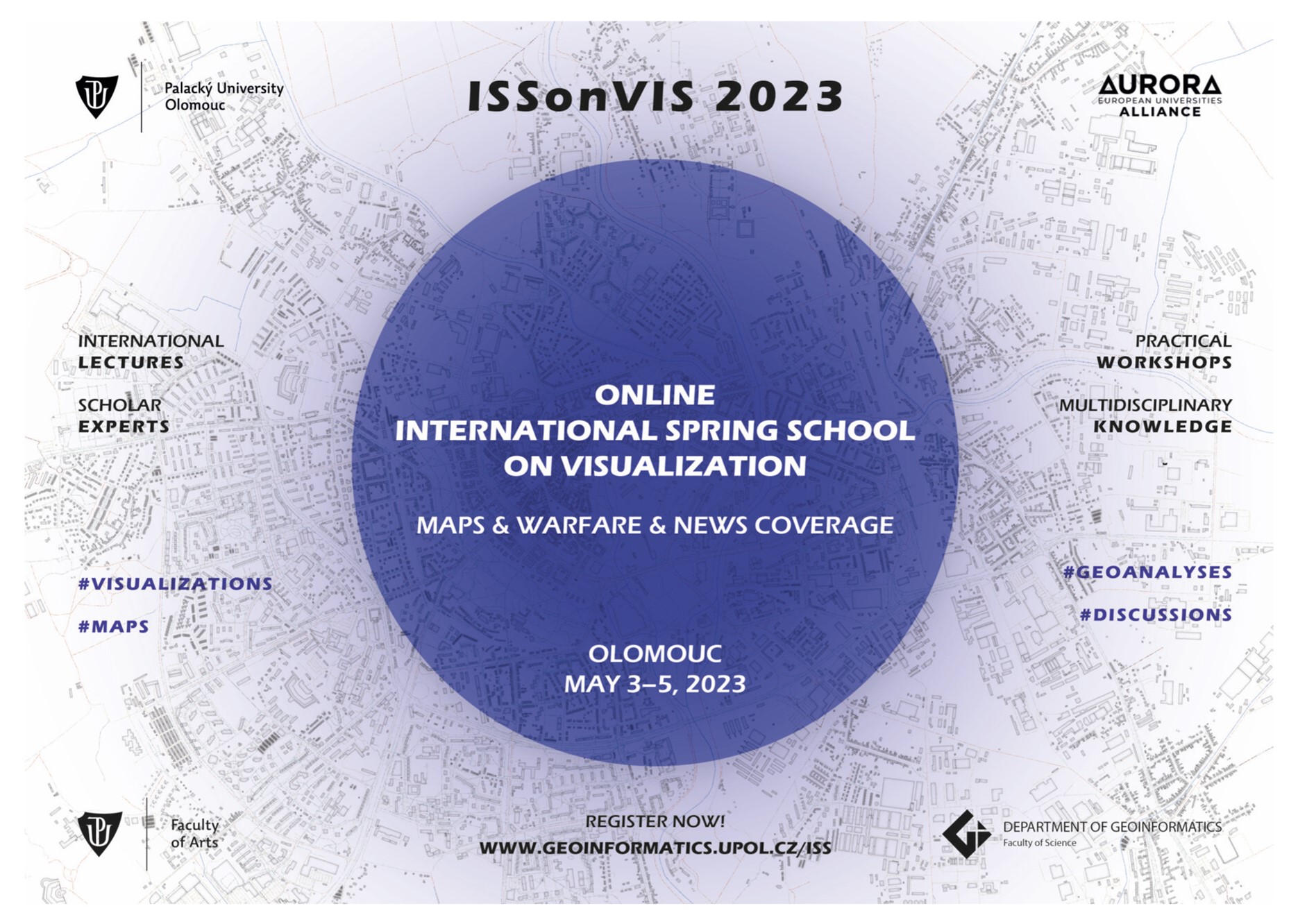
ISSonVIS 2023: International Spring School on Visualization
Course: Summer School 2
May 3, 2023 - May 5, 2023
Summer School Report - ISSonVIS 2023 aimed to explore the connections between maps, the history of warfare, and contemporary examples of armed conflicts through geovisualization.
Internship Spatial Services GmbH
Course: Summer Internship
March 17, 2013 - July 31, 2013
Internship Report - The main acomplished tasks were: dwelling extraction using deep learning techniques, production of density maps in ArcGIS Pro, Flood Detection with GEE and development of Arcpy tools for data management.
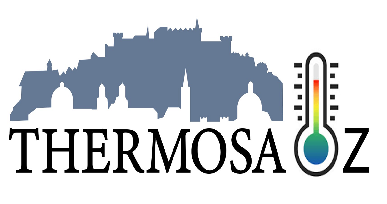
Thermosalz
Course: Software Development
August 1, 2023
Thermosalz is an interactive Web Application created with Open Layers to display Land Surface Temperature (LST) changes during the summer seasons between 2018 to 2022 in Salzburg, using Ecostress Satellite Imagery and Hexagonal Grids for Zonal Statistics.